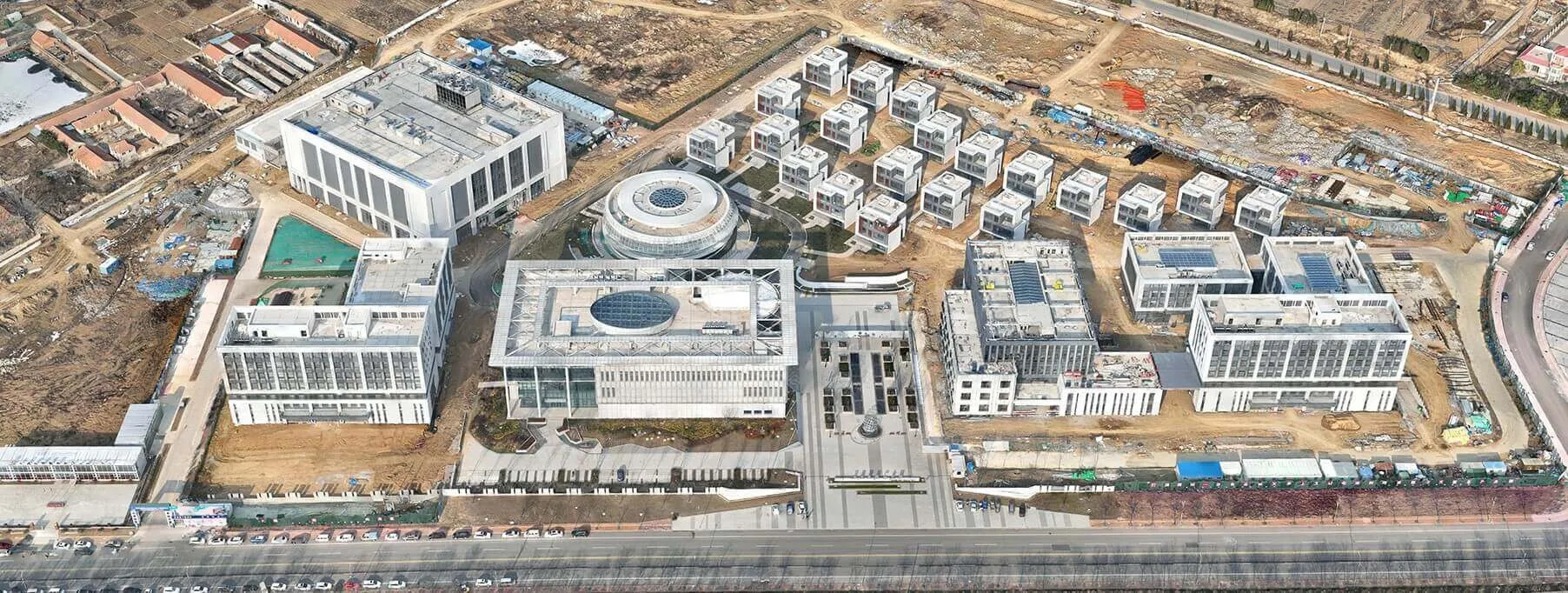
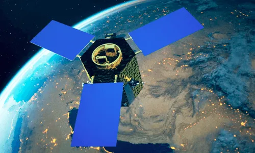
Yantai 1
Successfully launched on January 15, 2023
The Yantai 1 satellite operates in a sun synchronous orbit of approximately 500km and is equipped with a high-resolution color array camera, with a spatial resolution of 0.7 meters for the sub satellite points. The satellite has three imaging modes: video gaze, area array frame pushing, and area array scanning, which can obtain a large amount of dynamic and static remote sensing data in orbit; By configuring the communication system of X-band spread spectrum measurement and control, X-band direct satellite ground transmission, and Ka band inter satellite transfer transmission, the communication link between satellite ground and inter satellite transmission can be connected, which helps to greatly optimize the traditional remote sensing information acquisition process and achieve the development goal of real-time intelligent satellite remote sensing information services; A hardware platform with high-performance real-time processing and an open software platform that supports dynamic loading, enabling real-time intelligent processing of remote sensing data in orbit.
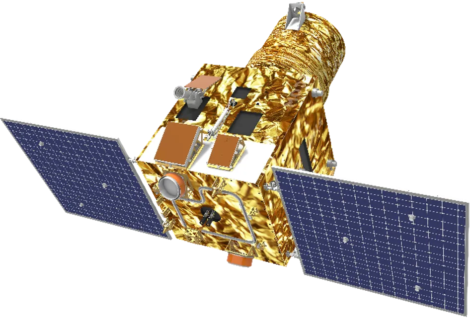
Yantai 2
The Yantai 2 satellite is a high-resolution optical remote sensing satellite for the Earth. The satellite has a resolution of 0.5m, a width of 12km, and a maximum data transmission rate of 1.8Gbps. Capable of autonomous planning of onboard missions, intelligent processing of onboard images, global short message and communication links of Beidou-3, and distribution of onboard data hotspots, the stable, reliable, and timely data resources obtained by satellites can be applied to mapping, detailed land surveys, urban planning, forest surveys, disaster monitoring, and other aspects, providing accurate and comprehensive Earth observation data for various industries, and promoting new breakthroughs in scientific research and commercial applications.