Javascript is required

Forestry Remote Sensing Monitoring

Remote sensing technology has the advantages of wide coverage, rapid tracking of dynamic changes, and repeated provision of forestry resources. Combined with field sampling technology, through calculation, it can achieve high accuracy, fast speed, low cost, automation, digitization, and systematic continuous and timely provision of forest resource data.

图片
Forestry monitoring system
林业资源清查
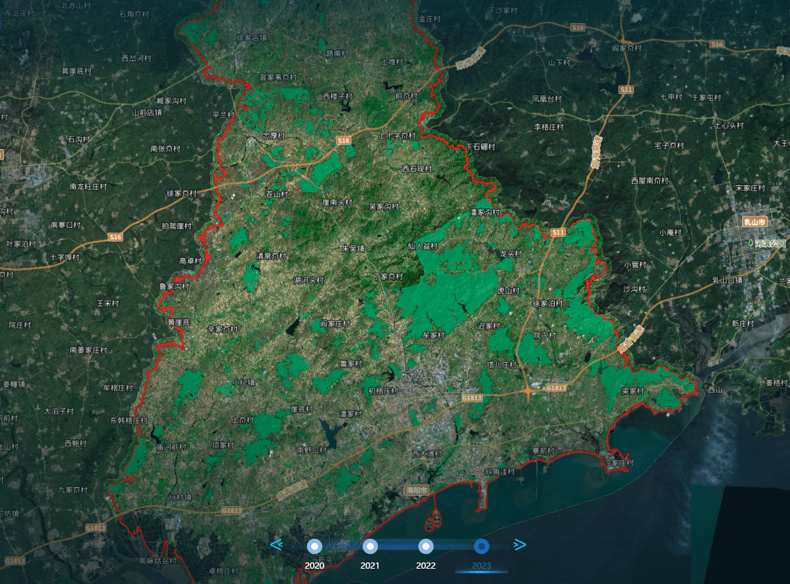
Forestry Resource Inventory (2023)

Forest resource inventory is aimed at continuously meeting the structural changes in the demand for forest products and forest ecological environment services in the process of social and economic development, ecological environment construction, and protection. Starting from the growth, distribution patterns, and characteristics of forest resources themselves, combined with China's national conditions, forest conditions, and forest resource management characteristics, modern information technology with `3S` technology as the core is adopted. Through regular measurement, in accordance with the `Technical Regulations for Continuous Forest Resource Inventory issued by the National Forestry Administration`(2004) Technical requirements: Regularly investigate a series of investigation factors such as land type changes and forest area involved in forest resource surveys, adopt corresponding investigation methods, accurately and timely identify relevant investigation factors, and based on this, conduct statistical and dynamic analysis through computers to make a comprehensive evaluation of the current situation and growth and decline of forest resources.

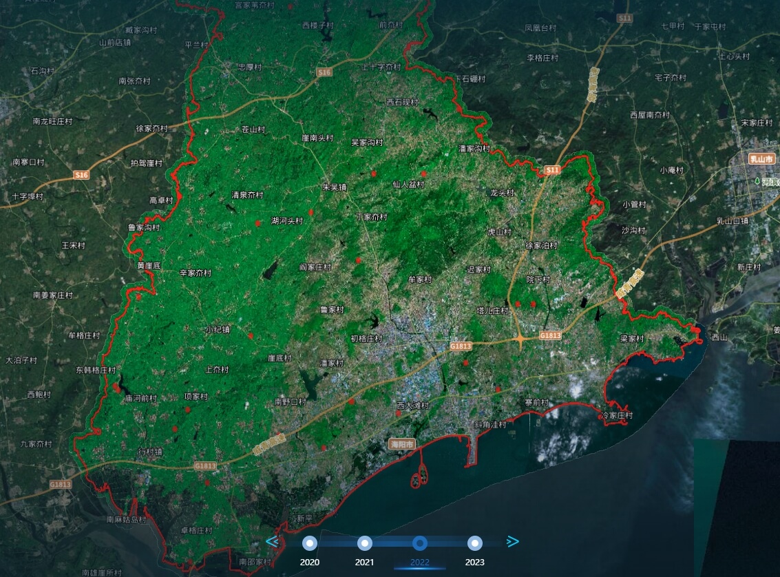
Forest logging monitoring (2022 compared to 2023)

The changes in forest resources have significant impacts on global carbon cycling, climate change, biodiversity, and the ecological environment. To strengthen the management of forest land and timber harvesting, timely identify problems in forest land and timber harvesting management, and fully utilize remote sensing images to monitor illegal occupation of forest land and timber harvesting. By using remote sensing image interpretation technology and overlaying multiple data periods to extract forest land change patterns, the efficiency and frequency of forest logging monitoring can be improved. Carrying out dynamic monitoring of changes in key regions and important land types, strengthening the application of monitoring results, providing timely and accurate monitoring and early warning information for forest land protection, supervision and law enforcement, spatial planning, ecological restoration and other business management, promoting the modernization of natural resource governance system and governance capacity, is of great significance for ecological civilization construction, protecting forest resource construction achievements, and improving the quality and efficiency of forest resource management.

林业资源清查

15801018805

Satellite Data Industrial Park, Fengcheng Street, Haiyang City, Yantai City, Shandong Province

微信二维码
微博二维码
陆海空间(烟台)信息技术有限公司

Luhai Kongjian(Yantai) Information Technology Limited Company

微信二维码
微博二维码

15801018805

Satellite Data Industrial Park, Fengcheng Street, Haiyang City, Yantai City, Shandong Province