Aerospace Public Welfare Ambassador Li Deren: Achieving Autonomous and Controllable Remote Sensing Satellite Systems in China in 10 Years
July 5th, 2024
Character Introduction
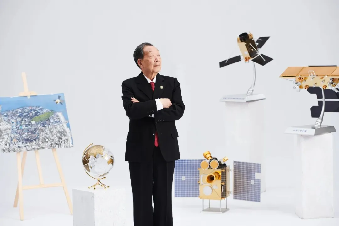
Li Deren, China's Ambassador for Space Welfare, is a professor and doctoral supervisor at Wuhan University. He is an academician of the Chinese Academy of Sciences and the Chinese Academy of Engineering. He holds a Ph.D. from the University of Stuttgart in Germany and is an honorary doctor from ETH Zurich in Switzerland. Li is an internationally renowned scholar in surveying and remote sensing. Currently, he serves as the Honorary Director of the Academic Committee of the State Key Laboratory of Information Engineering in Surveying, Mapping, and Remote Sensing at Wuhan University and as the Director of the Collaborative Innovation Center for Earth Spatial Information Technology. He is also the Chief Scientist of Wuhan·China Optics Valley. Li has received numerous prestigious awards, including the National Science and Technology Progress Award, the Ho Leung Ho Lee Award, and several other significant international awards. On June 24th, he was awarded the 2023 National Highest Science and Technology Award.
`Science knows no country, but scientists do`
Academician Li Deren is a strategic scientist in the field of remote sensing and surveying in China. He graduated from the Department of Aerial Photogrammetry at Wuhan College of Surveying and Mapping (later renamed Wuhan Technical University of Surveying and Mapping, which merged into Wuhan University in 2000) in 1963.
In 1978, the state resumed the recruitment of postgraduate students. Li Deren became a student of Academician Wang Zhizhuo, a specialist in aerial photogrammetry and remote sensing in China, and went to the Federal Republic of Germany for further study in 1982. At the University of Bonn, he pioneered an iterative method named `Li Deren Method` for deriving outlier positioning from posterior variance estimation, which was selected by weight. At the University of Stuttgart, he solved the century-old problem of error distinguishability theory in measurement science in two and a half years, and received the highest thesis score in the history of the University of Stuttgart, unsurpassed to this day.
As Li Deren's reputation in the academic community gradually emerged, many foreign research institutions extended `olive branches` to him. Faced with high-paying offers, Li Deren was not tempted and resolutely chose to return to his homeland, using the knowledge he had acquired to give back to the land that nurtured him. `Chinese people should work for their own country. Science knows no country, but scientists do. It is only right for Chinese scientists to serve China.`
After returning to his homeland, Li Deren joined the faculty of his alma mater and dedicated himself to advancing the fundamental theories and technological innovations in surveying, mapping, geographic information, remote sensing, and navigation. He particularly focused on promoting major national projects (engineering), such as the high-resolution earth observation system, from planning and argumentation to approval and implementation. He organized efforts to overcome a series of core technologies including global high-precision positioning in space remote sensing, high-precision data processing, and cartography. Li participated in initiating and pushing forward the development and establishment of China's high-precision, high-resolution earth observation system. He actively advocated for the integration of positioning, navigation, timing, remote sensing, and communication (PNTRC) and developed an integrated space-based information real-time service system (`Dong Fang Hui Yan` project) along with value-added services for spatiotemporal information big data, achieving a leapfrog development in China's space remote sensing.
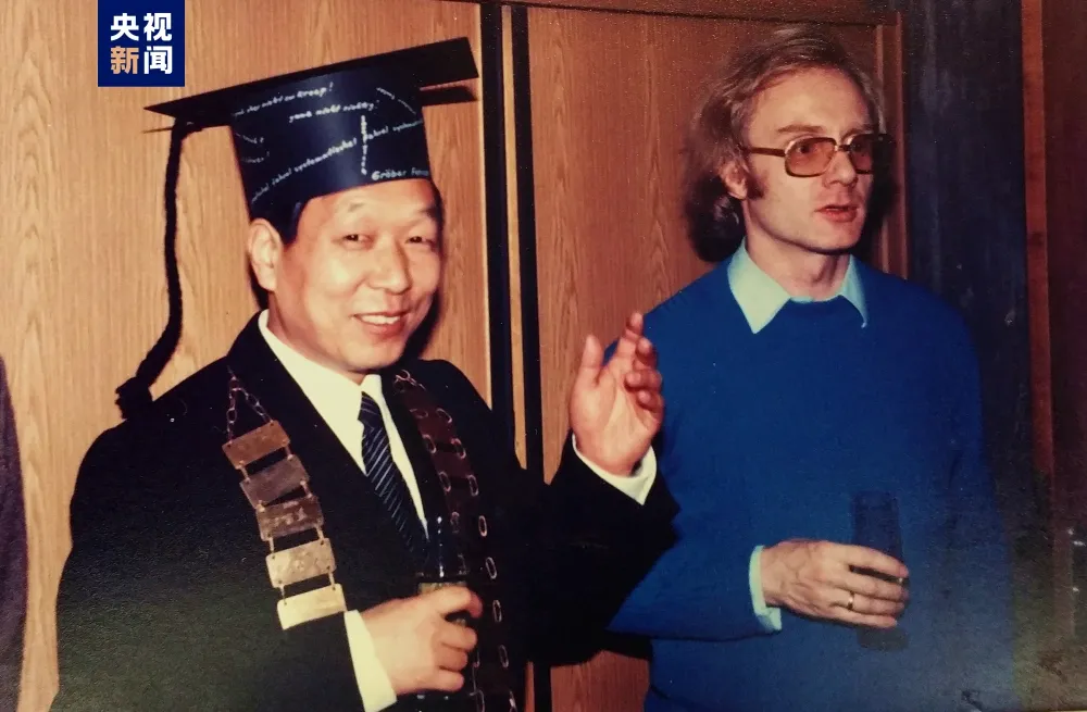
In February 1985, Li Deren received his doctoral degree from the University of Stuttgart with the highest score in the history of the school.
Over the past decade, we have achieved autonomous control over remote sensing satellites.
In 2010, with the approval of the State Council, the major project for high-resolution earth observation systems was fully launched and implemented. Li Deren, as the Deputy Director of the High-Resolution Specialist Committee and the Deputy Chief Engineer of the project, led and participated in the top-level design of the project. He also led his team to tackle key problems in high-precision data processing technology. After 10 years of construction, China's remote sensing satellite system has achieved autonomy and controllability.
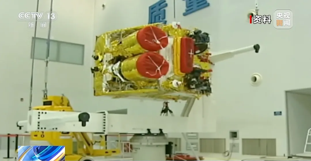
Since the successful launch of the first Gaofen-1 satellite in April 2013, the Gaofen project has successfully launched 14 satellites, each with unique observation capabilities, covering a variety of technical types such as optical, radar, infrared, and hyperspectral , etc. This has driven the construction of a new generation of national space infrastructure and has also prepared the technology and talent reserves for the vigorous development of China's aerospace industry.
Li Deren stated that after ten years of effort, they have enhanced the resolution of China's optical remote sensing to 0.5 meters. `This has met the needs of national defense construction, economic development, and the general public, and also supported the achievement of the United Nations Sustainable Development Goals.`
Li Deren said that, in layman's terms, remote sensing satellites are equipped with eyes to observe the Earth. It can view any place on the Earth's surface from space. The clearer the observation, the more usable information is obtained. Remote sensing technology has a wide range of applications, from urban planning, agricultural management, weather forecasting, disaster monitoring, to national defense construction and other fields, all of which are closely related to remote sensing technology.
In recent years, Li Deren has led his team to actively carry out key technology research on integrated space-based information real-time service systems for communication, navigation, and remote sensing. Concurrently, the Luojia series of scientific experimental satellite projects were initiated, and so far, four Luojia series satellites have been developed and launched. Through these years of unremitting efforts, China's remote sensing satellites now observe the Earth with greater clarity.
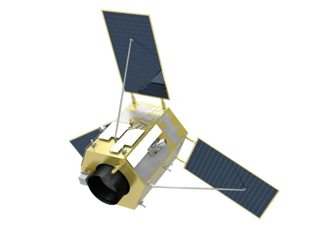
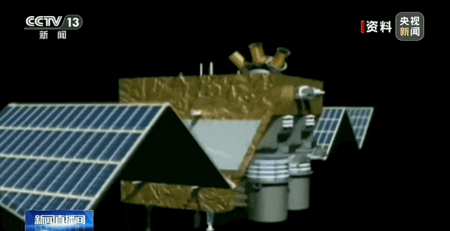
Luojia 3-01. Provided by Wuhan University.
`Give me five years to build the `Dong Fang Hui Yan` satellite constellation`
On July 1st, Li Deren returned to Wuhan University, where he works, and delivered a themed report titled `Love China, Contribute Through Science and Technology` to the teachers and students. At the same time, he announced his next five-year plan, which aims to lead a research team to build an `Dong Fang Hui Yan` intelligent remote sensing satellite constellation with 252 satellites by 2030, allowing more people worldwide to enjoy the high-quality services provided by Chinese satellites. This constellation, consisting of four types of satellites connected to communication and navigation satellites, can be used in agriculture, transportation, mining, maritime transport, smart cities, and smart rural areas, etc., constituting an earth observation network.
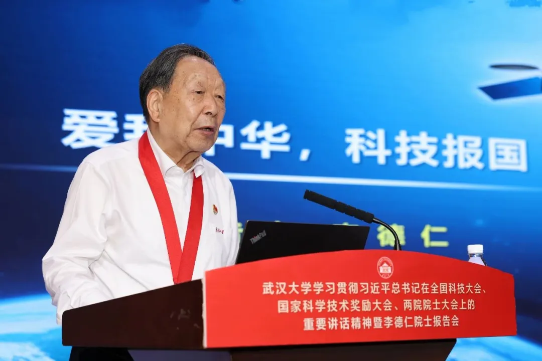
On July 1st, Li Deren delivered a keynote report.