Yantai 2 satellite remote sensing image: East Coast region of Brazil
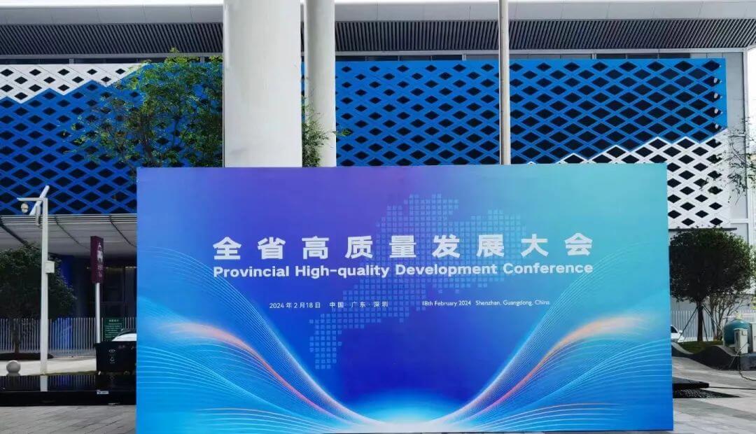
Recently, Dong Fang Hui Yan High Score 01 satellite and `Yantai 2` satellite were invited to participate in the Guangdong Province High Quality Development Conference held in Shenzhen, attracting widespread attention from all sectors of society.
At 11:06 am on February 3rd, Yantai 2, as the first operational star in the Eastern Wisdom Eye constellation, was successfully launched in the Yangjiang area of Guangdong Province aboard the Jielong 3 Yaosan carrier rocket. After the satellite was successfully launched into orbit, it completed the scheduled flight procedures and all telemetry data were normal. The transmitted images had clear details, clear textures, and distinct colors, fully demonstrating the new heights of commercial remote sensing satellites and marking the entry of commercial aerospace into a high-quality development stage.
Dong Fang Hui Yan High Resolution 01 Satellite and Yantai 2 Satellite are a high-resolution optical remote sensing satellite jointly developed by Lu Hai Kong Jian Company and Shenzhen Aerospace Dongfanghong. The main payload is a multispectral scanning camera with a panchromatic resolution better than 0.5m and a multispectral resolution better than 2m, developed by the 508 Institute of the Fifth Academy of Aerospace Science and Technology. The satellite is equipped with high-speed data transmission, with a maximum code rate of dual channel 1.8Gbps.
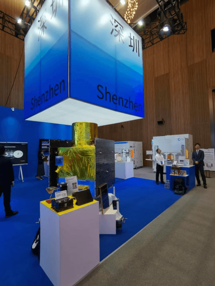
Yantai 2 Satellite Model Exhibition
The Dong Fang Hui Yan Intelligent Remote Sensing Constellation was initiated and constructed by Lu Hai Kong Jian (Yantai) Information Technology Co., Ltd. The constellation is characterized by one satellite multi-purpose, multi satellite networking, multi network integration, and intelligent services, taking into account land sea, all-weather global observation, low-cost, fast, and stable global coverage. It can achieve ecological environment monitoring, marine environment monitoring, and economic development monitoring, serving the goal of a dual carbon economy country.
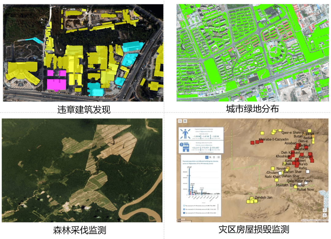
The successful launch of Dong Fang Hui Yan High Resolution 01 satellite and `Yantai 2` satellite marks the rapid networking stage of the constellation. At the same time, the construction of 20 satellites in the second phase of the constellation has also been fully launched, which will be widely used in land survey, urban planning, forest investigation, disaster monitoring, and other aspects.