
At 11:06 am Beijing time on February 3, 2024, the `Yantai 2` satellite (`Xunming Laojia 1` satellite) jointly developed by Lu Hai Kong Jian (Yantai) Information Technology Co., Ltd. and the Fifth Academy of Aerospace Science and Technology Group departed from the Dongfang Aerospace Port in Haiyang City, Yantai and arrived near the Yangjiang Sea in Guangdong Province. It was successfully launched using the Jielong 3 Y3 carrier rocket and entered the planned orbit smoothly.
Lu Hai Kong Jian (Yantai) Information Technology Co., Ltd. was jointly initiated by Shandong Provincial Marine Aerospace Equipment Technology Innovation Center and Academician Li Deren and his team from Wuhan University, with Academician Li Deren serving as the Chief Scientist. The company is committed to providing fast, accurate, and intelligent remote sensing information services directly to intelligent terminals for professional and general users+ The intelligent remote sensing constellation composed of satellites provides commercial remote sensing information real-time intelligent services with stronger timeliness and higher application service level to global users. This constellation project is the implementation of the major technological innovation concept proposed by Academician Li Deren - the Real time Intelligent Service System for Aerospace Information (PNTRC). The construction of constellations has received strong support from the Yantai Municipal People's Government and is a result of collaborative innovation among enterprises, local governments, and universities.
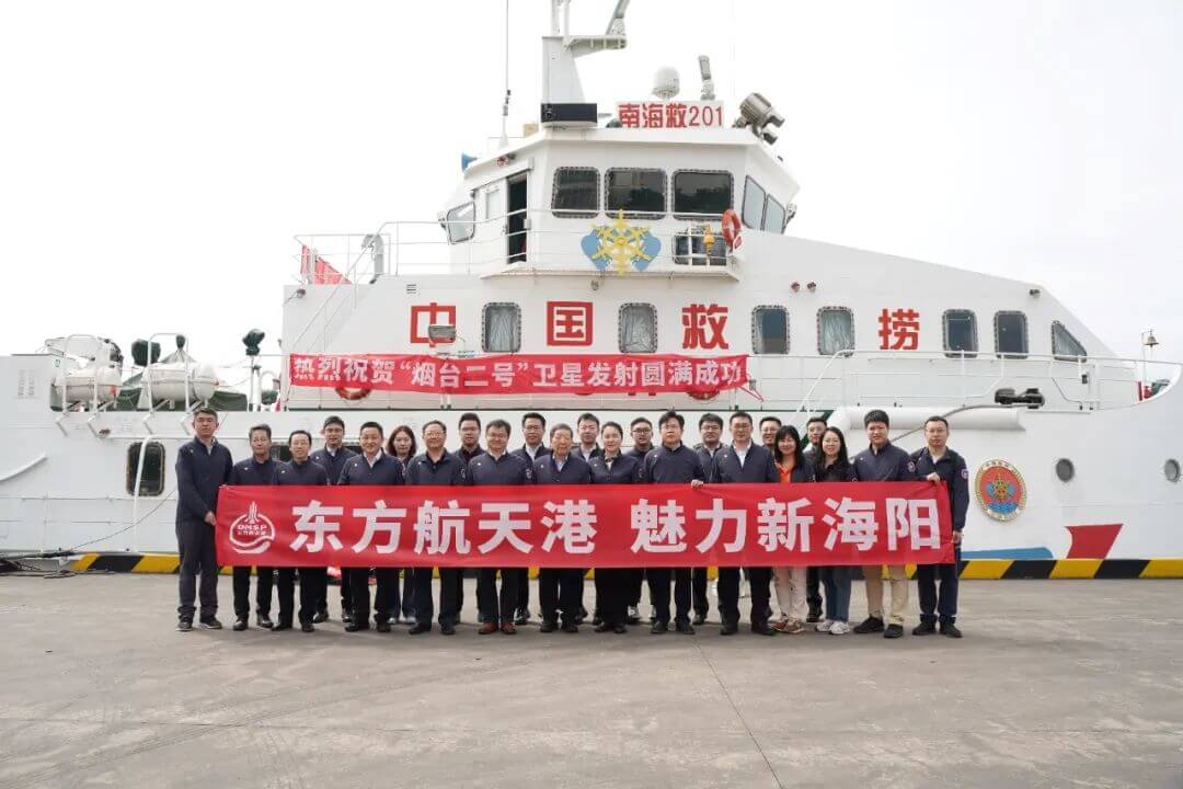
Group photo at the launch site
The Yantai 2 satellite operates in a sun synchronous orbit of 520km and is equipped with a high-resolution TDI scanning camera. The satellite has a resolution of 0.5m, a width of 12km, and a maximum data transmission rate of 1.8Gbps. The comprehensive indicators of the satellite are at the forefront of commercial aerospace. The satellite is equipped with intelligent processing terminals and applies relevant intelligent processing technologies verified by the Yantai 1 spacecraft in orbit. On this basis, the satellite has uniquely designed a real-time generation function for ROI standard images in orbit, which can generate and transmit images of areas of user concern in real-time, effectively improving the speed and efficiency of user acquisition of standard images, and greatly expanding the application field of in orbit intelligent processing.
As the first operational satellite of the `Dong Fang Hui Yan` intelligent remote sensing constellation, the successful launch of the `Yantai 2` satellite is an important practice of the `Navigation and Remote Sensing` integrated intelligent remote sensing satellite system, which is of great significance for the subsequent constellation construction. After the satellite was put into operation, based on profound industry understanding and multi-dimensional technical support capabilities, the high-performance computing power of the Dongfang Aerospace Port Intelligent Computing Center was aggregated, and AI remote sensing models were introduced to provide real-time spatiotemporal observation intelligent analysis and decision-making services, forming a typical and deeply integrated industry application example.
In 2024, Lu Hai Kong Jian Company will accelerate the construction of the first phase of the `Dong Fang Hui Yan` constellation while verifying the key technology of the `Yantai 2` satellite, and promote the development process of two hyperspectral satellites in the first phase of the `1+2` demonstration service system. We will continue to explore the popularization of intelligent remote sensing data services and create `satellite+` innovative application demonstration projects in fields such as smart agriculture, environmental monitoring, emergency management, energy management, and transportation.