Lu Hai Kong Jian and Yantai Marine and Fisheries Supervision and Supervision Detachment Sign Strategic Cooperation Agreement
April 24th, 2023
Chen Jianpeng, the General Manager of Lu Hai Kong Jian (left), and Wang Hongliang, a member of the Party Group of Yantai Marine Development and Fisheries Bureau and the leader of Yantai Marine and Fisheries Supervision and Supervision Brigade (right), signed a strategic cooperation agreement in Haiyang.
On April 22, 2023, the Industrial Development Conference of Dongfang Aerospace Port was held in Haiyang City, Yantai, and Chen Jianpeng, General Manager of Lu Hai Kong Jian, was invited to attend.
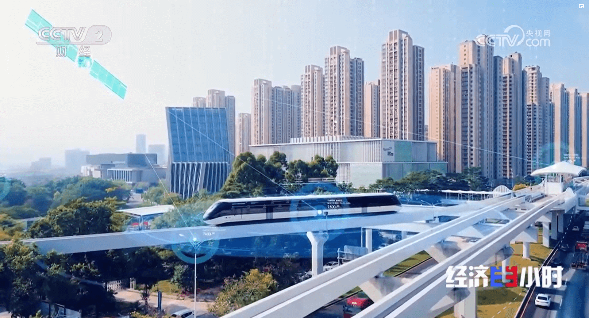
The `Dong Fang Hui Yan` constellation, launched by Lu Hai Kong Jian, adopts integrated navigation and remote sensing design and in orbit intelligent processing technology. It achieves collaborative remote sensing observation with high temporal resolution, high spatial resolution visible light, hyperspectral and SAR satellites, enabling faster, more accurate, and more convenient monitoring of different areas in the local, nearshore, and distant seas. Constellations have the following advantages in the field of ocean and fisheries: an intelligent remote sensing constellation composed of+satellites provides commercial remote sensing information real-time intelligent services with stronger timeliness and higher application service level to global users. This constellation project is the implementation of the major technological innovation concept proposed by Academician Li Deren - the Real time Intelligent Service System for Aerospace Information (PNTRC). The construction of constellations has received strong support from the Yantai Municipal People's Government and is a result of collaborative innovation among enterprises, local governments, and universities.
Realize real-time monitoring
The operation mode of integrated navigation and remote sensing intelligent constellation has greatly improved the timeliness of remote sensing data acquisition and application, achieving real-time and efficient acquisition of information on changes in the marine environment. The management, protection, and utilization of marine resources are of great significance, facilitating the timely adoption of corresponding measures to protect the marine ecological environment.
Improving the accuracy of ocean observations
The characteristics of multi payload collaborative acquisition of images ensure that constellations can observe the ocean over a longer period of time, continuously accumulate multiple types of ocean observation data, more accurately measure ocean temperature, salinity, water color and other indicators, and thus better understand the ecological environment and changing trends of the ocean.
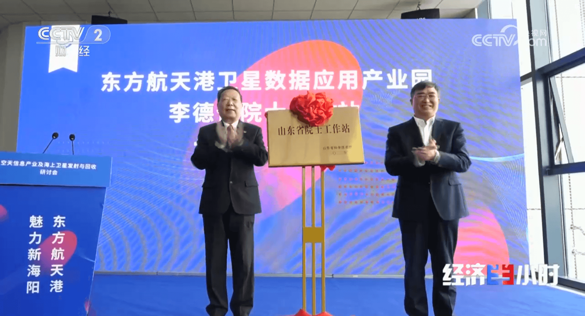
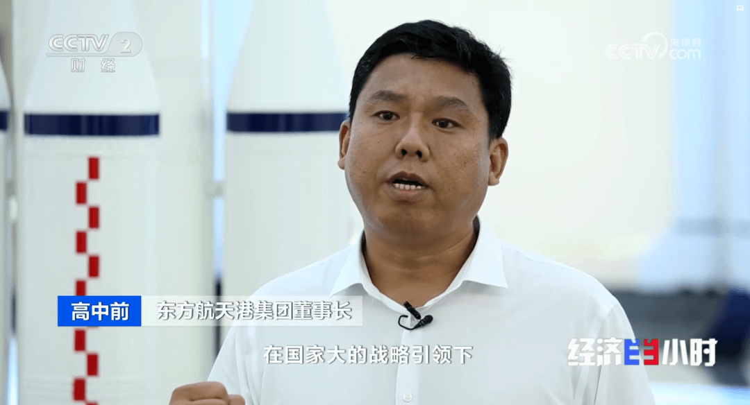
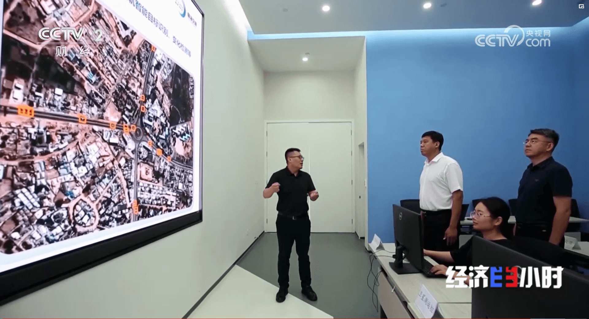
东方航天港集团高中前董事长介绍,卫星数据产业园建设之初,就设计规划了卫星工厂、卫星数据交易等版块,致力于“把星箭变成产业,把空天信息服务变成产值”。
Expand the scope of ocean monitoring
With the rapid deployment of constellations, global ocean monitoring will gradually be achieved. This contributes to global monitoring and protection of the marine environment, as well as remote sensing dynamic monitoring and production assurance of global fishing grounds. Constellation data will assist ocean and fisheries management departments in analyzing the global ocean situation and changing trends in time and space, in order to make macroeconomic regulation and management.
Support richer application scenarios
In terms of remote sensing dynamic monitoring of marine ecological environment, constellations can be used to measure pollution source emissions and pollution load changes at fixed times, locations, and regions, analyze the degree and frequency of pollutant exceeding standards, evaluate environmental quality, and predict the trend of marine environmental changes; Implement emergency monitoring in areas where accidents or early warning occur, measure the degree and scope of pollution caused by accidents, monitor and track the development trend of pollution, so as to take corresponding measures in a timely manner to reduce and control marine pollution damage. At the same time, monitor and provide evidence support for marine pollution disputes caused by accidents.
The successful signing of this agreement is of great significance for the development of Yantai's marine and fishery industry. Introducing the high-frequency and high-quality monitoring capabilities of the `Dong Fang Hui Yan` constellation can improve the production efficiency and ecological environment protection level of marine fisheries; To provide advanced technical support for the Yantai Marine and Fisheries Supervision and Supervision Brigade, and further improve its regulatory capacity and law enforcement level.
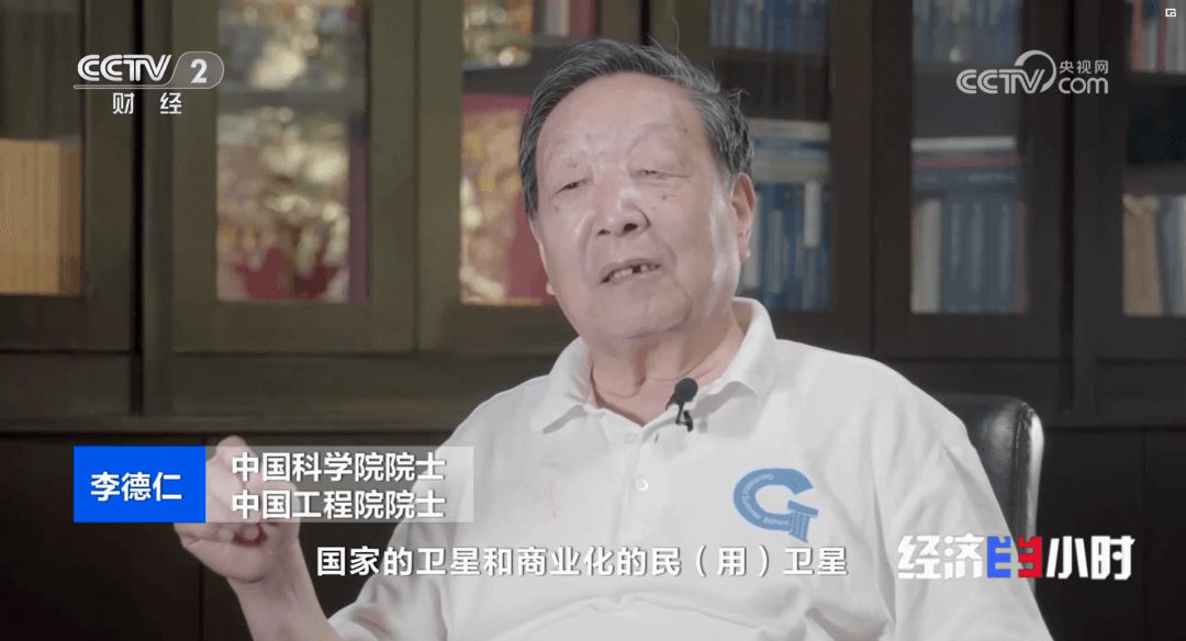
李德仁院士:要满足新基建时代的融合基础设施、创新基础设施和信息基础设施的发展,中国商业航天正处于一个从未有的大好的发展时期。
“烟台一号”卫星是智能遥感卫星的初步实践,对李德仁院士所说的“东方慧眼”星座的建设极具意义,已经可以为应用场景提供分钟级卫星服务。
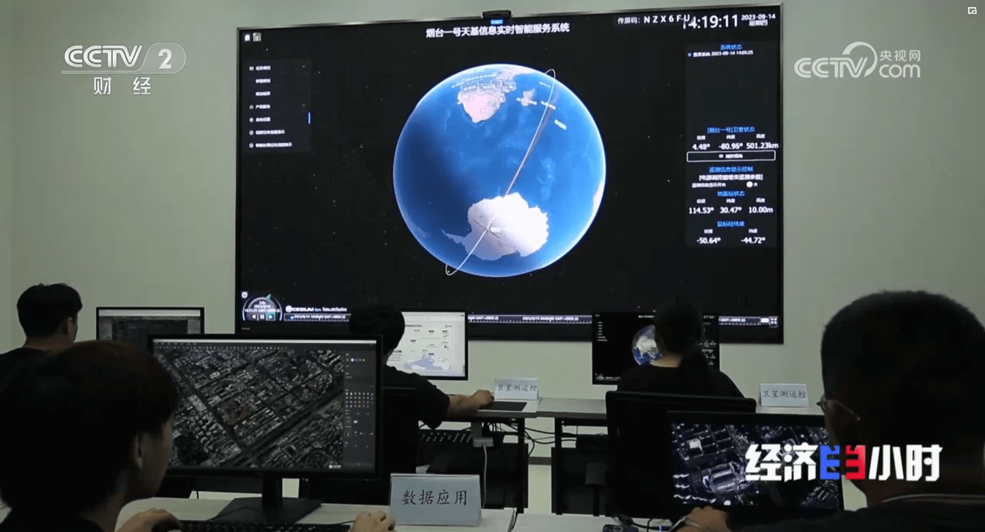
“烟台一号”是一颗实验星,它充分验证了遥感数据的链路获取以及在轨处理能力,我们这颗卫星主要具有静态图像成像功能、高清视频凝视成像功能及多角度立体成像功能。
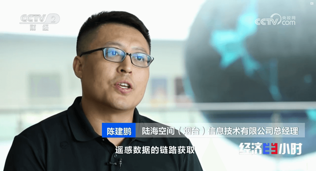
陆海空间公司陈建鹏总经理表示,目前仅靠这一颗卫星提供服务的能力有限,随着星座未来卫星数量的增加,将会实现更高的空间分辨率、更强的区域覆盖能力以及更高频次的服务能力。
陈建鹏总经理:李德仁院士及陆海空间公司之所以带着愿景落户到海阳,正是因为东方航天港的产业优势,能够帮助我们加速实现目标。东方航天港不仅提供了政策、资金以及产业陪同等方面的支持,而且提供了一个全周期的服务。

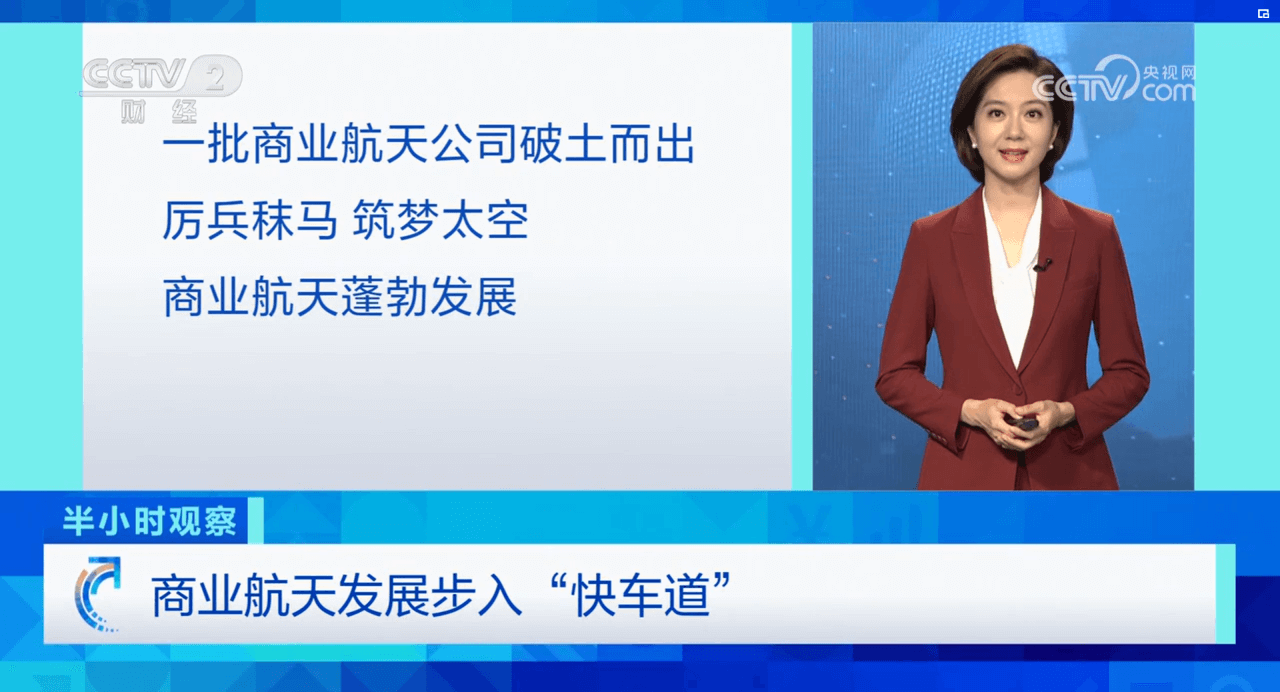
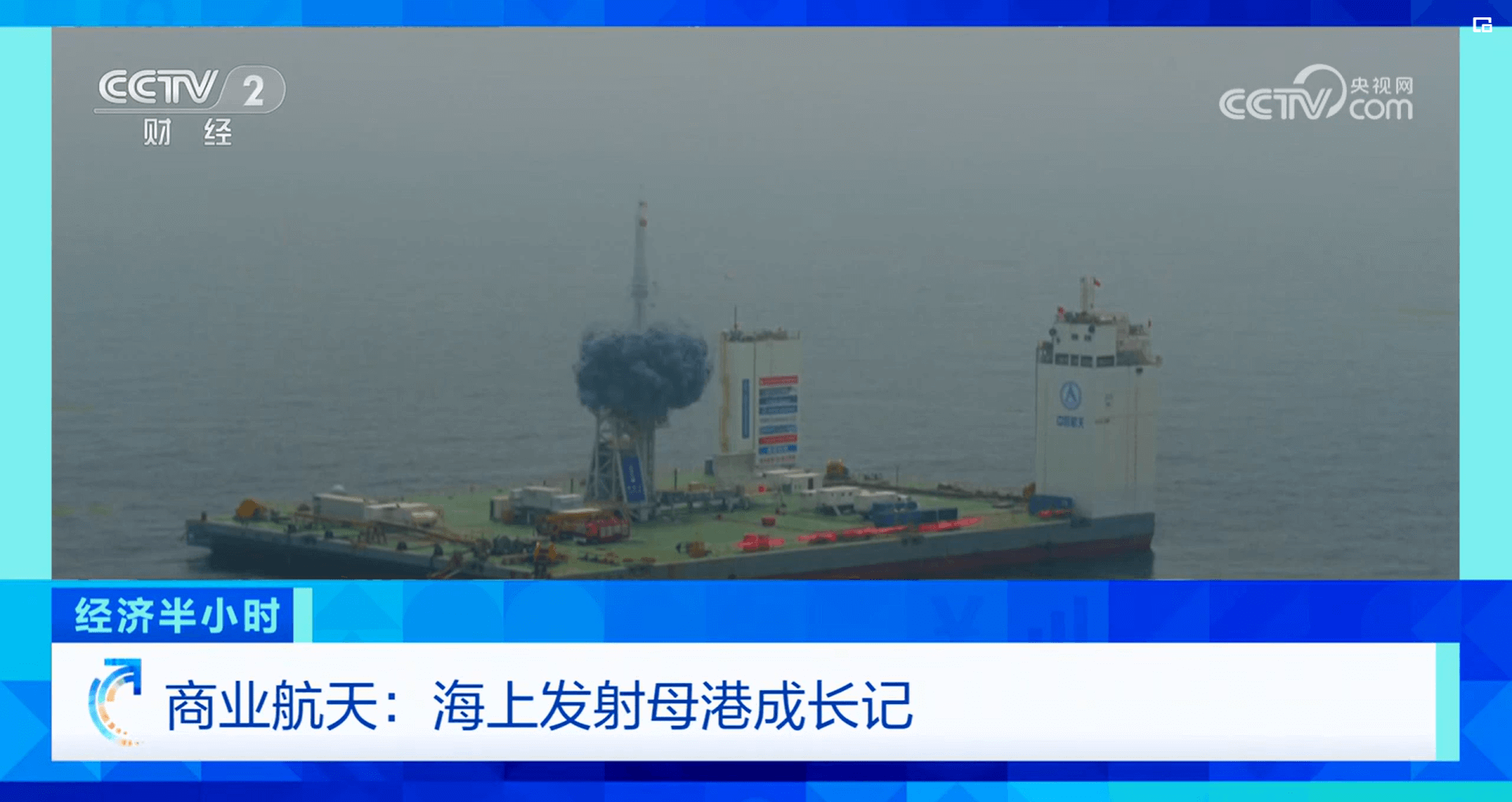
半小时观察:近年来,在国家政策的推动下,一批商业航天公司如雨后春笋般破土而出。在东方航天港,有许多民营企业正在厉兵秣马、筑梦太空,他们是商业航天蓬勃发展的一个缩影。商业航天不仅给航天产业带来了新活力,还将和国家队形成互补、合力共进,让中国航天飞得更高、飞得更远。